
Attraction
Lăpuș Land
Lăpuș Land is a geographical and ethnographic region in southern Maramureș County, in the Lăpuș depression along the middle and upper course of the Lăpuș river, covering 918 km². Its centre is the town of Târgu Lăpuș, and the region also includes the communes of Băiuț, Coroieni, Cupșeni, Groșii Țibleșului, Lăpuș and Suciu de Sus.
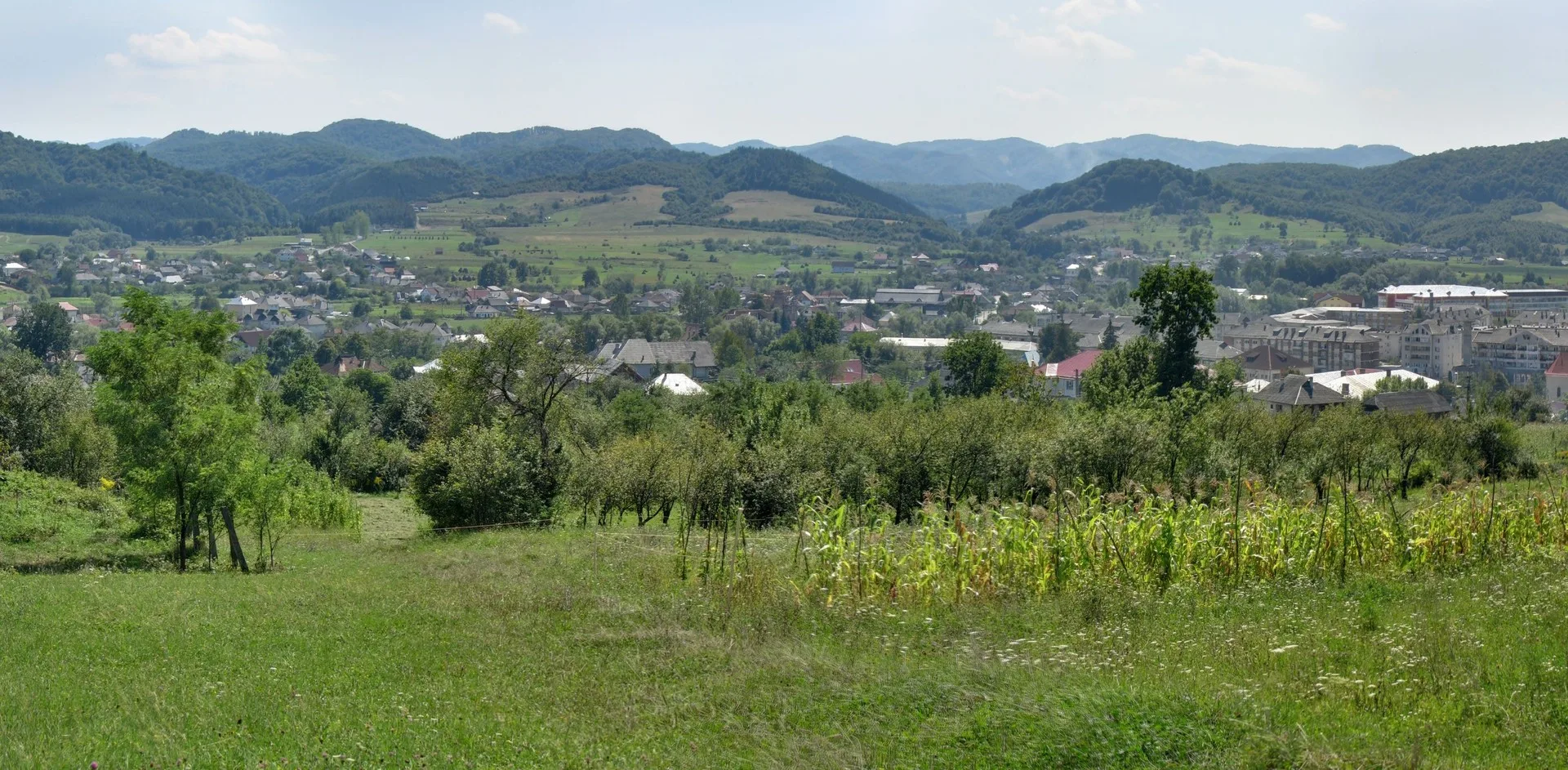
Foto: paulnasca, CC BY-SA 3.0, via Wikimedia Commons (imagine decupată)
Lăpuș Land occupies the Lăpuș depression, in the north-western part of the Transylvanian basin, along the middle and upper course of the Lăpuș river, the main right-bank tributary of the Someș. To the north, towards the Maramureș depression, it is bounded by the volcanic Țibleș, Lăpuș and Gutâi mountains. To the south, towards the Someș valley, the boundary runs along the Boiu plateau, the Breaza ridge (974 m) and Vima hill (777 m). To the east, towards Bistrița-Năsăud County, lie the Năsăud foothills, crossed by the Înșeuarea Largă pass (521 m), and to the west the Preluca massif separates it from Chioar Land. Most of the region now belongs to Maramureș County.
According to Wikipedia, Lăpuș Land is geographically, ethnically and historically the northern extremity of Transylvania, but works as a side area of historical Maramureș, from which it took a rich vocabulary, ethnographic features and part of its folklore repertoire. Documents show that several Lăpuș villages were founded by Maramureș nobles in the fourteenth century. The local dialect is Transylvanian, with strong influences from the Maramureș dialect.
Târgu Lăpuș, first recorded in 1291 (poss. Laps) and declared a town in 1968, grew as the market town and commercial, cultural and folk centre of the upper Lăpuș basin. Its territory includes the village of Rogoz, whose wooden church is a UNESCO World Heritage site, and the village of Rohia, with Rohia Monastery. It also includes the Lăpuș Gorge nature reserve, 25 hectares on the Lăpuș defile, which runs for 28 km between Răzoare and Remecioara.
Târgu Lăpuș, județul Maramureș