
Attraction
Baiu Mountains
The Baiu Mountains, also called the Gârbova Mountains, are a group of the Curvature Carpathians between the Prahova and Doftana valleys, with a main ridge over 30 km long and 1,700-1,900 m high. The ridge is crossed by marked trails starting from Bușteni and Posada and by a ridge road used for cycle touring.
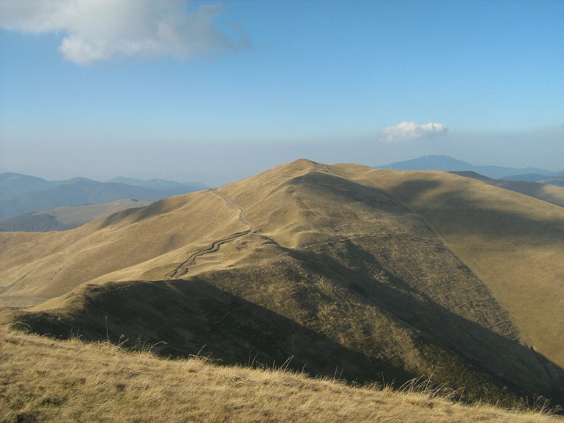
Foto: Cioboata Andrei, CC BY 3.0, via Wikimedia Commons
The Baiu Mountains (Munții Baiului), also called the Gârbova Mountains, are a mountain group of the Curvature Carpathians, part of the Eastern Carpathians, in Prahova County. They are bounded by the Azuga valley to the north, the Prahova valley to the west, which separates them from the Bucegi Mountains between Sinaia and Bușteni, the Doftana valley to the east and the Florei valleys to the south. The main ridge runs north-south, is over 30 km long and 1,700-1,900 m high, and the group covers about 300 km². Most of the massif lies in the upper basins of the Prahova and Doftana rivers.
The mountains are made of Cretaceous flysch. The main summits include Baiul Mare (1,895 m), Drăgan (1,771 m), Urechea (1,715 m) and Piscul Câinelui (1,650 m). Wikipedia gives Vârful Neamțu (1,923 m) as the highest point of the group, while the Munții Noștri trail guides treat it as part of the Neamțu Mountains, visible to the east from the Baiu ridge. The massif is the subject of a monograph, „Munții Baiului” by Mihai Ielenicz, published in 1984.
Trail 14, marked with a red stripe, climbs from Posada along the ridge to Culmea Zamora: it is 16.2 km long, with over 1,500 m of height difference and about 7-8 hours of walking, passes Refugiul Florei (1,180 m), Piscul Câinelui and the summits of Drăgan and Baiul Mare, and the waymarks are sparse above the treeline. Trail 12, marked with a red cross, links Bușteni (the Zamora district) to the ridge and descends along Culmea Petru - Orjogoaia to Trăisteni in the Doftana valley: it is 24.5 km long, takes about 11-12 hours, is not recommended in winter and is hard to follow in poor visibility. From Șaua Cazacu a variant descends in 1-1.5 hours to the gondola in Azuga. For cyclists, route 17 is a 55.1 km circuit along the gravel ridge road, from the upper station of the Azuga gondola to Posada, reaching 1,809 m below Baiul Mare. The ridge looks across to the eastern escarpment of the Bucegi.
The Baiu Mountains include the Natura 2000 site ROSCI0153 Pădurea Glodeasa, in Valea Doftanei commune, designated for its beech forests and for species such as the brown bear. The massif is reached on foot or by bike along the marked trails.
Munții Baiului, între Valea Prahovei și Valea Doftanei (Bușteni, Azuga, Sinaia, Posada, Valea Doftanei), județul Prahova