
Attraction
The Zarand Mountains
The Zarand Massif is a low mountain unit in the western part of the Munții Apuseni, Arad County, with a maximum altitude of 836 m at the Drocea peak. Its geological structure consists predominantly of Palaeozoic crystalline rocks, and its slopes are covered with deciduous forests home to diverse wildlife. Access is possible from the localities of Gurahonț, Hălmagiu or Sebiș, via DN79A, with hiking trails of low difficulty.
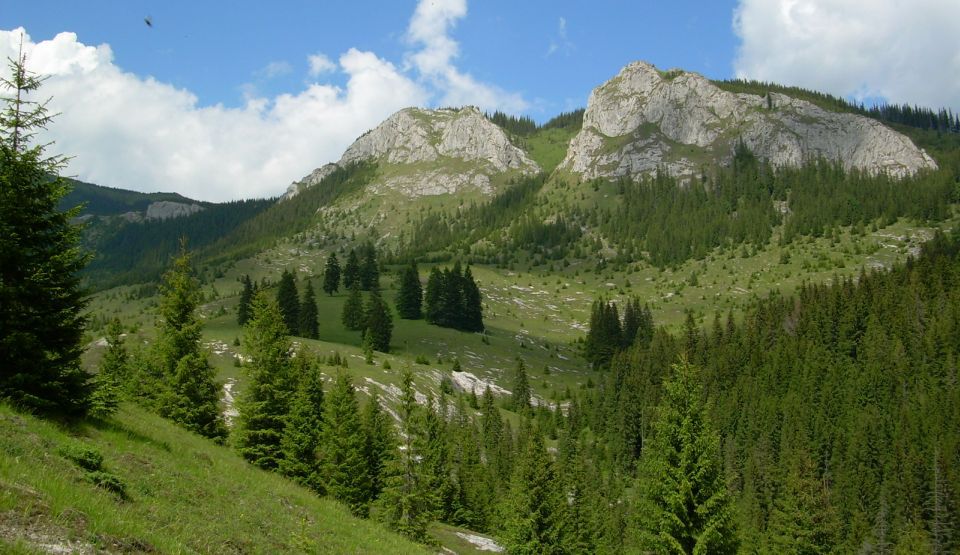
The Zarand Massif is one of the low mountain units of the Munții Apuseni, located in their western part, on the territory of Arad County, with extensions towards Hunedoara County. The maximum altitude of the massif does not exceed 836 m, with the Drocea peak as its highest point, which places it in the category of low mountains with a predominantly hilly character. The massif extends over a length of approximately 70 km from west to east, forming a natural barrier between the Western Plain and the intramontane depressions of the Apuseni. From a geological standpoint, its structure is dominated by crystalline rocks, schists and Palaeozoic granites, with ages estimated at over 300 million years. The slopes are covered with deciduous forests, particularly oak and Turkey oak, providing a suitable habitat for red deer, wild boar, wolf and lynx. The area also shelters numerous Dacian and Roman archaeological sites, reflecting the strategic importance of the region in antiquity, in the context of gold mining activities in the Munții Apuseni. Access to the massif is possible from several localities, with the main entry points being Gurahonț, Hălmagiu and Sebiș, all connected via DN79A. Forest roads allow penetration into the interior of the massif, with marked trails for hiking of low to moderate difficulty. The Zarand Massif is worth visiting for its combination of forest biodiversity, accessible historical remains and trails suitable for tourists without advanced mountain experience.
Muntii Zarand judetul Arad