
Attraction
Munții Vrancei
Munții Vrancei are a mountain range belonging to the Carpații de Curbură, with a maximum altitude of 1,785 m at Vârful Goru, located in Vrancea County. They lie above Romania's most active seismic source — the Vrancea focal zone — which generates earthquakes at depths of 50–250 km that affect half the country. This same geological structure has preserved virgin forests with trees over 260 years old, large carnivores, and a mountain landscape virtually untouched by mass tourism. The main access routes run from Focșani along DN2D towards Lepșa or along DN2L towards Soveja.
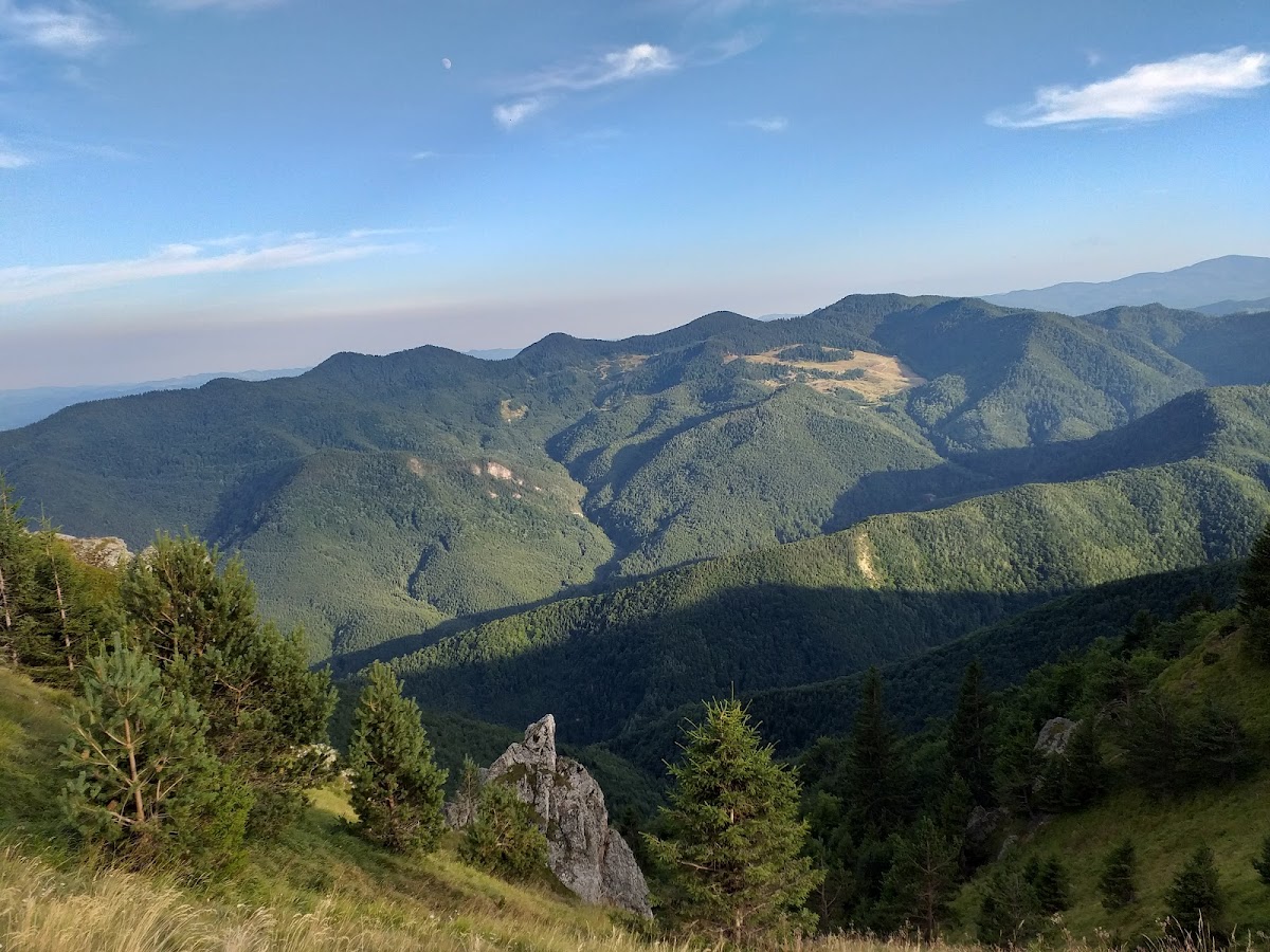
Munții Vrancei are a mountain range belonging to the Oriental Carpathians, within the Carpații de Curbură sector, located entirely in Vrancea County, covering an area of approximately 1,321 km². They mark the eastern limit of the bend with the greatest difference in orientation in the entire Carpathian chain. The main peaks are: Goru (1,785 m), Lăcăuți (1,776 m), Pietrosu (1,676 m), Arisoaia (1,724 m), Zboina Frumoasă (1,656 m), and Coza (1,629 m). The average altitude of the massif is approximately 1,500 m. The geology of the massif spans 140 million years, with a dominant flysch structure — alternating sandstones, marls, and conglomerates deposited during the Cretaceous and Paleogene, folded into synclines and anticlines. The area lies above Romania's most active seismic source — the subcrustal Vrancea focal zone — where the dynamics of lithospheric microplates generate earthquakes at depths of between 50 and 250 km and magnitudes of up to 7.8 on the Richter scale. The same tectonic activity produces related phenomena: landslides, ground collapses, and natural gas seepage — the most spectacular of which is Focul Viu de la Andreiașu de Jos, a permanent flame fed by methane gas escaping directly from the ground. Paradoxically, the geological instability and isolation of the massif have protected the area from intensive exploitation and have preserved remarkable ecosystems. The Lepșa-Zboina Reserve (210.7 ha) shelters virgin forests with spruce and fir specimens over 260 years old. The fauna includes brown bear, wolf, lynx, pine marten, red deer, chamois, capercaillie, lesser spotted eagle, and raven. The hydrographic network has a radial distribution — the valleys running eastward belong to the Siret basin, while those running westward drain into the Olt. The ridge trail of the massif, marked with a red stripe, extends for approximately 50 km and takes 2–3 days to complete, passing through Șaua Geamănă (1,496 m), Vârful Bulboace (1,546 m), Vârful Pietrosu (1,676 m), and Vârful Lăcăuți (1,776 m). Starting points are Tulnici or Lepșa from the east, and Soveja from the north-east, via DN2L. The marked trails in Munții Vrancei begin from Păulești, Coza, and Lepșa and can be combined with visits to the nature reserves within Parcul Natural Putna-Vrancea.
Muntii Vrancei judetul Vrancea