
Attraction
Igniș Mountains and Igniș Peak
The Igniș Mountains are a volcanic mountain group of the Maramureș and Bukovina Carpathians, regarded as a branch of the Gutâi massif, stretching north of Baia Mare between the Gutâi Pass (987 m) and the Huta Pass (587 m). The highest peak is Igniș (1,307 m), and much of the range lies within the Igniș Natura 2000 site. The Igniș weather radar has operated on the summit since 2004.
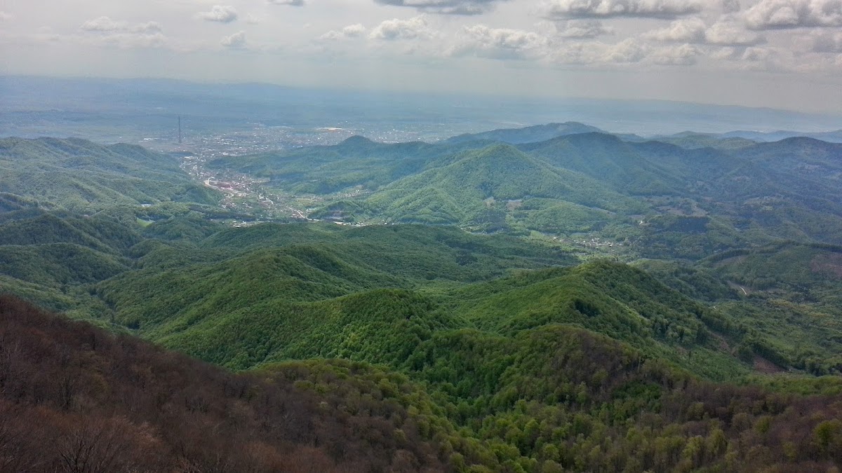
The Igniș Mountains lie in the north-western Eastern Carpathians, north of Baia Mare, and are regarded as a branch of the Gutâi massif, sharing its volcanic origin. They meet the Gutâi Mountains to the south-east at the Gutâi Pass (987 m), crossed by the DN18 road, and the Oaș Mountains to the north-west at the Huta Pass (587 m). The geographer Grigore Posea treats them as a separate unit, although many maps write the name Gutin over the Igniș range.
The highest peak is Igniș (1,307 m), within the territory of Baia Mare, about 10 km from the city, and visible from it on clear days. Since May 2004 the Igniș weather radar has operated on the summit; its data are used for near-real-time weather warnings and for hydrological forecasts in the Tisa basin within a radius of about 150 km, and several technical towers stand on the top. Other summits are Pleșca Mare (1,292 m), Rotund (1,240 m), Negru (1,215 m) and Pietroasa (1,200 m). Shepherding created or widened high pastures from about 1,000 m upwards, such as Poiana Izvoarelor, Poienile lu' Ștefan and Poiana Runcului on the Maramureș side and Poiana Ruginoasa and the Pietroasa open ground towards Oaș, which gave the range its other name, the Mountains of the Glades (Munții Poienilor).
The Natura 2000 site ROSCI0092 Igniș, designated in 2007, covers 19,635.3 ha in the municipalities of Baia Mare and Sighetu Marmației and the communes of Câmpulung la Tisa, Desești, Giulești, Ocna Șugatag, Săpânța and Sarasău. It protects beech forests, grasslands and peat bogs and includes the Cheile Tătarului, Mlaștina Poiana Brazilor, Mlaștina Iezerul Mare and Tăul lui Dumitru nature reserves, the last a 3-hectare oligotrophic bog on the main ridge. Protected species include the serrated bellflower (Campanula serrata), the Siberian ragwort (Ligularia sibirica) and the Carpathian newt.
The mountains are used for hiking, skiing and paragliding. The main starting point is the Izvoare tourist area, at about 900 m altitude and 25 km from Baia Mare, which also has a ski slope. The Strâmtori-Firiza reservoir lies on the southern slopes, and the area also includes the Chiuzbaia fossil reserve and the Runcu reservoir, which is under construction.
Munții Igniș, nord de Baia Mare, județul Maramureș