
Attraction
Gurghiu Mountains
The Gurghiu Mountains are a volcanic mountain group in the Eastern Carpathians, formed by volcanic activity between 9.4 and 5.4 million years ago and covering about 582 km². The highest peak is Saca Mare (1,777 m), followed by Saca Mică (1,731 m), Amza (1,695 m) and Fâncelu (1,684 m). To the north, the Mureș valley separates them from the Călimani Mountains.
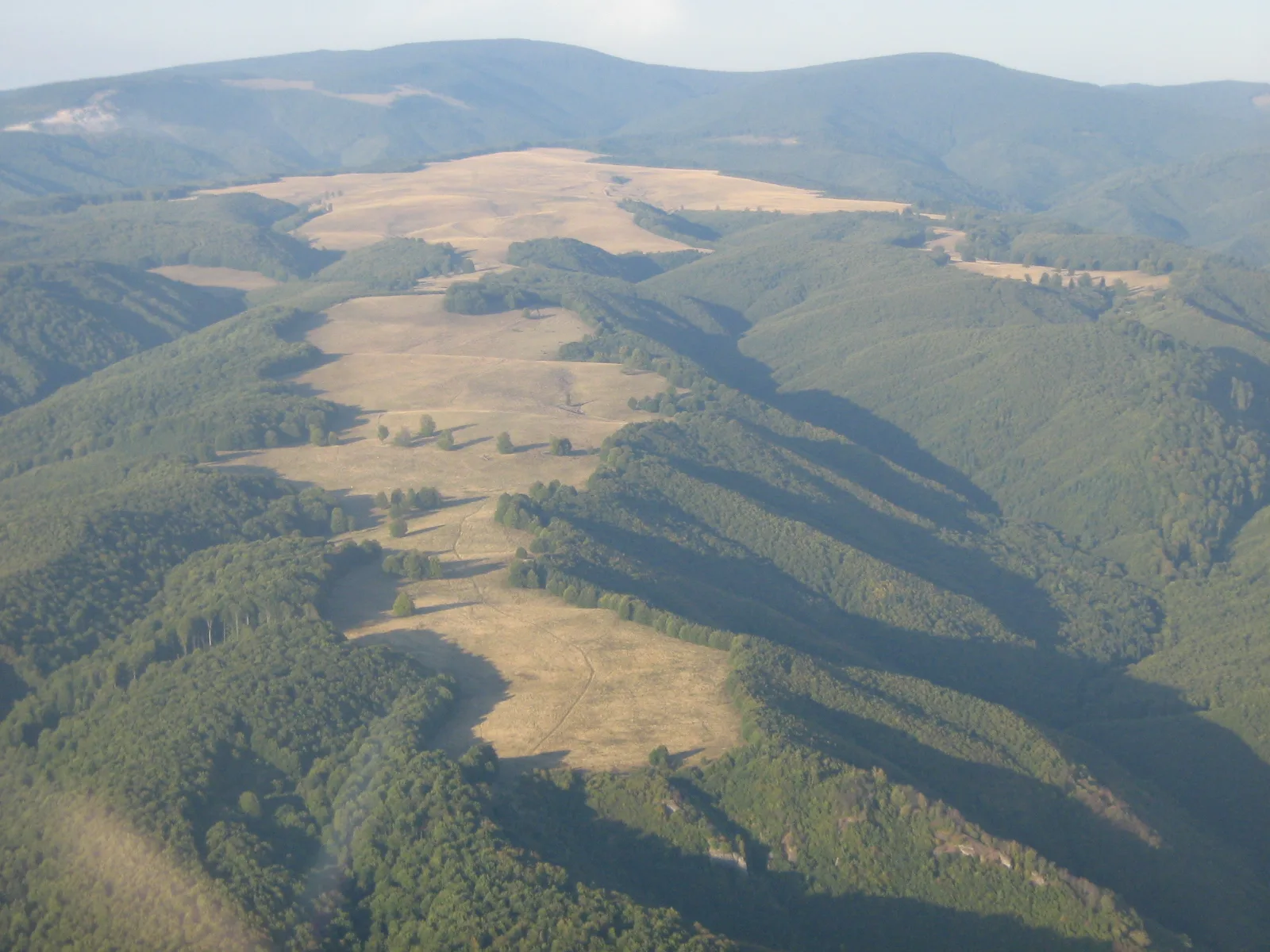
Foto: Sie, CC BY-SA 3.0, via Wikimedia Commons
The Gurghiu Mountains belong to the volcanic chain on the western side of the Eastern Carpathians, in the Călimani-Gurghiu-Harghita group, and extend across Mureș and Harghita counties. To the north, the Mureș valley (the Deda-Toplița gorge) separates them from the Călimani Mountains, while to the south they continue into the Harghita Mountains. The main ridge runs broadly from northwest to southeast, and the range covers about 582 km².
The relief was formed by volcanic activity between 9.4 and 5.4 million years ago, which migrated from north to south. The highest peak is Saca Mare at 1,777 m, followed by Saca Mică (1,731 m), Amza (1,695 m), Tătarca (1,689 m), Fâncelu (1,684 m), Găinușa (1,680 m), Bătrâna (1,634 m) and Frățileasa (1,628 m). Average annual rainfall is about 1,200 mm and the average annual temperature is around 4°C.
Forests cover most of the slopes, and the fauna includes red deer, wild boar, wolves and brown bears. On the western side of the range lies the valley of the Gurghiu river, with the villages of Gurghiu and Ibănești communes, and on the southwestern side the resort of Sovata. Part of the range is included in the Natura 2000 site ROSCI0019 Călimani-Gurghiu.
Saca Mare can be reached on foot from the Sovata resort, starting towards the ski slope, or from the Bucin Pass, mostly on forest roads. A refuge maintained by Salvamont Mureș stands near the summit.
Munții Gurghiu, județele Mureș și Harghita