
Attraction
Rucăr-Bran Corridor
The Rucăr-Bran Corridor is a tectonic depression roughly 22-25 km long (up to 45 km in the broader geographic sense), oriented northeast-southwest, located between the Bucegi and Leaota Mountains (east) and the Piatra Craiului and Iezer-Păpușa Mountains (west). Crossed by national road DN73, the corridor is one of the main historic links between Wallachia and Transylvania. Worth visiting for its easy access to Piatra Craiului National Park and Bucegi Natural Park, as well as its varied landscape and well-preserved traditional villages.
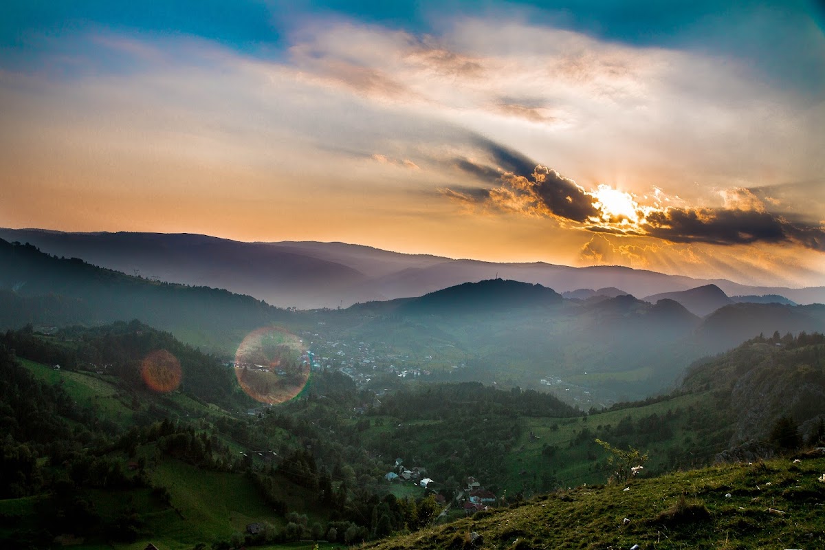
The Rucăr-Bran Corridor is a tectonic and erosional depression, oriented northeast-southwest, separating the Bucegi and Leaota Mountains to the east from the Piatra Craiului and Iezer-Păpușa Mountains to the west. Its length varies depending on the definition used: about 22-25 km for the central stretch, strictly between Rucăr and Bran, or up to 45 km if the secondary Tămaș and Otic corridors, in the upper Dâmbovița basin, are included. Altitude ranges, depending on the section, from roughly 500 to 1,500 meters.
The corridor is crossed by the Dâmbovița River in its southern stretch and the Bârsa River in the north, the two watersheds separated by the water divide at Bran. Geographically it is split into three sectors: a northern one (between Bran and the central ridges), a central sector — also called the "limestone knolls sector" — and a southern sector, home to the Dâmbovicioara, Podul Dâmboviței, and Rucăr depressions. Geologically, the area took shape at the end of the Cretaceous, through folding movements, and consists of Cretaceous flysch deposits, Jurassic limestone, and conglomerates, with well-defined karst relief — caves, sinkholes, gorges, and karren.
The corridor floor is home to numerous villages, of which Rucăr, Dragoslavele, Fundata, Moeciu, and Bran are the most representative, with a tradition of shepherding and craftsmanship — including transhumance, still practiced today. Fundata, at 1,360 m, is Romania's highest settlement. Wildlife includes deer, brown bear, wolf, and lynx, the corridor benefiting from its proximity to the protected areas of Piatra Craiului National Park and Bucegi Natural Park.
It is reached via national road DN73, which links Câmpulung Muscel to Brașov, running the entire length of the corridor. Worth visiting for the diversity of its mountain landscape, the quick access it offers to two nationally important protected areas, and its traditional rural architecture, characteristic of this Carpathian contact zone.
Pasul Bran județul Brașov