
Attraction
Urlătoarea Waterfall
Urlătoarea Waterfall lies on the Urlătoarea stream, on the eastern slope of the Bucegi Mountains within Bucegi Natural Park, at about 1,100 m above the town of Bușteni. The main drop is about 15 m. It is reached by marked paths from Bușteni (red dot) and from Poiana Țapului (blue dot).
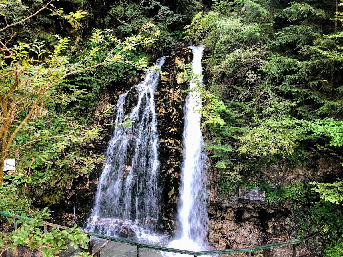
Urlătoarea Waterfall lies in Bucegi Natural Park, on the eastern slope of the Bucegi Mountains between Bușteni and Poiana Țapului, at an altitude of about 1,100 m. It is formed by the Urlătoarea stream, one of the tributaries the Prahova receives within the town of Bușteni, and sits close to the trail that climbs from Bușteni up the Jepi valley (Jepii Mari) to the Bucegi Plateau and the Piatra Arsă hut.
The main drop is about 15 m. A few dozen metres higher up, on the two streams Urlătoarea Mare and Urlătoarea Mică, there are smaller falls. The name, meaning "the howling one", comes from the noise of the water, which is loudest in spring when the snow melts and after rain, when the flow increases. A wooden bridge once stood in front of the waterfall; it was destroyed in the 1970s by a boulder carried down by a flash flood.
From Bușteni, trail 5, marked with a red dot, starts next to the Bușteni cable car station: it climbs the forest road to the left of the station, then a path to the water intake lodge, and continues along the contour to the waterfall. It is 3.6 km long with about 323 m of ascent and takes 1 h 15 min to 1 h 30 min. A stretch of about 200 m is steeper and becomes slippery in rain or mud, and signs in the area warn that bears are present.
From Poiana Țapului, trail 4, marked with a blue dot, leaves from the railway halt, climbs to the DN1 road, exits the village along Strada Urlătoarei and follows a forest road and path into the Urlătoarea Mică valley, below the waterfall. It is 2.7 km long with about 309 m of ascent and takes around 45 minutes. Both trails can be walked all year round.
Valea Urlătoarei, Bușteni, județul Prahova