
Attraction
Sulina Branch
The Sulina Branch, also called the Sulina Canal, is the middle arm of the Danube in the delta: 71.7 km straightened and embanked by the European Commission of the Danube after 1856 as a route for seagoing ships. Tulcea to Sulina passenger ships use it, and ARBDD water routes start from the villages on its banks.
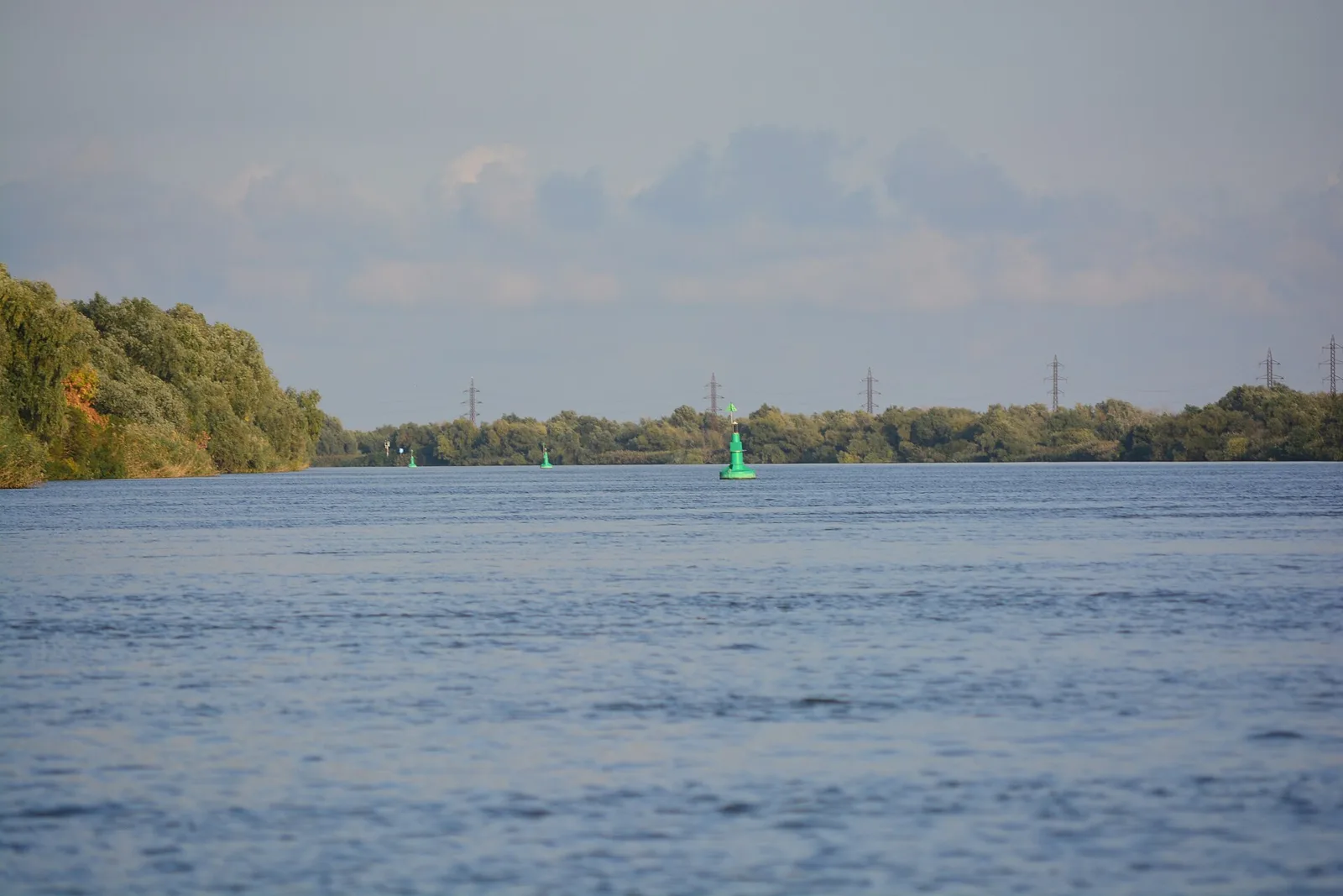
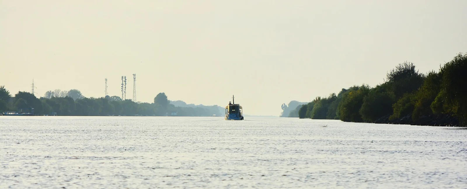
Foto: Joe Mabel, CC BY-SA 4.0, via Wikimedia Commons Galerie: Joe Mabel, CC BY-SA 4.0, via Wikimedia Commons
The Sulina Branch, also called the Sulina Canal, is the middle arm of the Danube in the Danube Delta. It leaves the Tulcea branch at Ceatalul Sfântu Gheorghe, east of the city of Tulcea, and runs almost straight east for 71.7 km to the Black Sea at the town of Sulina. It is the shortest and straightest of the three branches and carries about one fifth of the river's discharge. Along its banks lie, from west to east, the villages of Partizani, Maliuc, Gorgova and Crișan, then the town of Sulina. Being regulated and canalised, it allows seagoing ships with a draught of up to 7 m.
Until 1857 the branch was about 83 km long, winding, 120 to 250 m wide and 2.5 to 9 m deep. The 1856 Treaty of Paris, which ended the Crimean War, set up the European Commission of the Danube (CED), which, under its British chief engineer Charles Hartley, began improving the Sulina Branch. The jetties at its mouth were built between 1858 and 1872 and later extended in 1925 to 1932, 1944 to 1956 and 1956 to 1986; today they reach about 9.3 km into the sea. Cutting through the meanders shortened the course to its present length, and the fairway still needs constant dredging. In September 1991 the Ukrainian ship Rostock sank at Mile 31, near Partizani, partly blocking navigation for years; on the right bank there is a memorial to the divers who lost their lives removing the wreck.
The branch is the main way to Sulina: classic and fast passenger ships leave from Tulcea and stop at the riverside villages. Sections of ARBDD tourist routes 1 (Tulcea, Mila 23, Crișan), 9 (Crișan, Lake Roșu, Sulina) and 11 (Crișan, Magearu Canal, Sulina) run along it. The reserve access permit can also be paid in cash at the information centres in Crișan and Sulina. At the mouth of the branch, between the Musura channel and Sulina, lies Musura Island, the largest Sandwich tern (Sterna sandvicensis) nesting area in Romania and a breeding site for common and little terns, pied avocet, black-winged stilt, Eurasian oystercatcher and Pallas's gull; ARBDD asks boats not to come closer than 200 m and to watch the birds with binoculars. In August 2026 Agerpres reported that, during low water on the Danube, tourists saw a dolphin with its calves on the Sulina Canal.
The Sulina Branch lies within the Danube Delta Biosphere Reserve, recognised as a UNESCO biosphere reserve (1990), a Ramsar wetland (1991) and a World Heritage Site (1991), and within the Natura 2000 sites ROSCI0065 and ROSPA0031. As a navigable fairway it is managed by the Lower Danube River Administration, whose Sulina section is housed in the former CED palace.
Did you know that distances on the Sulina Branch are still counted in miles? Markers on the banks read "mila 14", "mila 15" and so on, the Rostock wreck is located at "Mile 31", and the village of Mila 23 takes its name from the old measurement of the Sulina Branch. The village now lies on the Dunărea Veche (Old Danube), a loop of the old branch left outside the straightened course.
Brațul Sulina, între Ceatalul Sfântu Gheorghe (Tulcea) și orașul Sulina; pin pe apă între Gorgova și Crișan, județul Tulcea